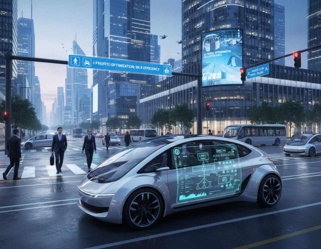
Urban planners and engineers now combine advanced code, sensors, and microcontrollers to sync actuators and road systems. This work supports better transportation and safety across the city. It also helps reduce congestion and improve mobility for residents.
The integration effort depends on robust system design and clear communication between every car, signal, and infrastructure node. Teams run a comprehensive analysis of current infrastructure to ensure each system operates correctly.
Data drives most decisions. By sharing timely information, autonomous vehicles and automated systems can lower crash risk and smooth traffic flow. Privacy and network security remain top priorities as applications scale.
In short: successful deployment hinges on reliable code, coordinated systems, and ongoing planning. The future of urban mobility will rely on how well we manage these technical and social challenges.
The Evolution of Urban Mobility
Rising urban density is forcing a rethink of how day-to-day transportation moves people and goods. In many smart cities, planners face growing traffic and must redesign systems to move more people without adding lanes.
Automakers and suppliers now adapt product lines for denser environments. For example, Continental Corporation develops automated highway tech and autonomous shuttles to meet this need.
Reducing congestion and saving commuter time are top priorities. New modes aim to improve sustainability and make transit more reliable.
Effective traffic management and integrated mobility tools let planners optimize routes and capacity. Well-designed solutions can lower emissions and keep cities functional as populations grow.
- Manage rising traffic with smarter routing.
- Prioritize sustainability in transportation planning.
- Adopt autonomous vehicles and shuttles where useful.
Defining Connected Vehicles Smart Cities
Urban transportation now depends on an interwoven system of radios, sensors, and microcontrollers to manage traffic and keep roads safe.
Core Components
The core parts include microcontrollers, on-board software, and roadside units that let every vehicle act as a node in a larger system.
These modules collect and share data so systems can predict delays and reduce crashes in real time.
Communication Protocols
Short-range radio signals form the backbone of communication. They let cars, buses, and infrastructure exchange information about signals, blind turns, and road hazards.
Case in point: Continental’s CUbE platform shows how an autonomous electrified solution can plug into existing infrastructure to improve urban mobility.
- Sensor arrays detect nearby traffic and road conditions.
- Protocols ensure timely sharing and protect the network as it scales.
- Ongoing analysis of system behavior helps maintain reliability and safety.
The Role of IoT in Modern Transportation
Real-time device data now powers decisions that cut delays and make transportation more efficient. IoT sensors and edge processors gather traffic signals from roads and vehicles to create an actionable stream of data.
According to the Industry IoT Consortium, delays cost commuters 7 billion extra hours and make cities waste 3.1 billion gallons of fuel in developed economies. Local examples show about 30% of inner-city traffic comes from drivers hunting for parking.
“Real-time sharing of telemetry lets planners respond to congestion before backups form.”
How IoT helps:
- Collects live data from car and road sensors to ease traffic and parking.
- Supports network applications that analyze flow and prioritize routes.
- Aids sustainability goals by reducing time on roads and cutting fuel use.
Deploying these systems requires robust analysis, secure sharing, and scalable applications. When implemented well, IoT becomes the backbone of a more efficient, sustainable smart city.
Understanding Levels of Vehicle Automation
Automation in road transport is classified into six levels that shape how much control a human must retain.
Manual to Partial Automation
The U.S. Department of Transportation defines levels 0–5, where levels 0–2 require human monitoring.
Level 2 allows the system to handle steering and acceleration.
The human must stay ready to take back control at any time.
Conditional and High Automation
Level 3 adds environmental detection so the system can act in some conditions without constant human input.
Level 4 is high automation and often requires geofencing.
Geofencing limits operation to predefined boundaries for safer deployment in urban zones.
Full Automation
Level 5 is full automation: the system performs all driving tasks in all conditions.
These levels are critical to safety and planning. City planners use this taxonomy to fit automated vehicles into road networks and traffic systems.
- DOT defines six levels; 0–2 need human oversight.
- Level 2: system controls steering and speed; driver ready to intervene.
- Level 3–4: increasing system autonomy; Level 4 needs geofencing.
- Level 5: complete automation, less human intervention, more predictable traffic patterns.
Distinguishing Between Connected and Automated Systems
Clear terminology shapes policy and planning. The Society of Automotive Engineers uses “automated” to separate on-board decision systems from networked communication. This distinction matters for regulation and deployment.
Automated platforms act by processing sensor data and following rules inside the vehicle. A self-driving car usually sits between Level 3 and Level 4 on SAE’s scale. A human passenger often must still be present and ready to take control.
Networked systems focus on message exchange between road infrastructure and vehicle units. That data improves routing, reduces traffic, and boosts safety when systems coordinate across roads and intersections.
- SAE distinction: automated implies in-vehicle decision making.
- Operational reality: many self-driving systems require human fallback.
- Data role: telemetry and mapping refine both automated and networked systems.
Understanding these differences helps planners integrate both types into transportation systems. Thoughtful integration will cut time in traffic and make mobility on public roads safer and more efficient.
Infrastructure Requirements for Seamless Integration
Upgrading roads with sensors and fast networks lets transport systems react to hazards in seconds. This foundation supports real-time traffic management and safer, more efficient transportation.
Vehicle-to-Infrastructure Communication
Intelligent intersections are a core requirement. They exchange signals and situational data with passing cars to warn of occluded pedestrians or hidden risks.
Continental’s Intelligent Intersection is a prime case. It uses advanced sensor arrays and analysis to alert drivers and optimize flow. The result is less congestion and better use of road time.
- Deploy intelligent intersections that communicate directly with vehicles and roadside systems.
- Build a robust network to handle high-volume data sharing from sensors and road units.
- Use infrastructure analysis to improve planning and transportation services for sustainability.
In short: design choices determine long-term success. Investing in this technology brings clear benefits in safety, traffic reduction, and urban mobility.
Enhancing Road Safety Through Intelligent Intersections
Intelligent intersections use sensors and real-time data to spot hazards before drivers do. These systems detect occluded pedestrians and vehicles and send timely alerts to reduce collisions.
Continental’s Intelligent Intersection gathers information and statistics from crosswalks and approach lanes. City teams use that data to tune signal timing and improve traffic flow.
Integration into existing infrastructure brings clear benefits for urban mobility and transportation reliability. Advanced communication protocols make sure alerts reach each car and traffic manager without delay.
“Real-time intersection data reduces surprise hazards and helps planners prioritize safety upgrades.”
- Detects hidden risks and warns drivers to prevent accidents.
- Collects actionable data for planners to reduce congestion and optimize roads.
- Relies on robust sensors and secure communication to deliver timely information.
Managing Traffic Volume and Congestion
Reducing congestion depends on shifting single-occupancy trips into shared and data-driven transportation modes.
Managing traffic volume is a core challenge as a city adds autonomous services. Alone, automation can cut movements only if it encourages carpooling or ride-sharing.
If new options pull riders away from public transit, the result may be more cars and worse congestion. Planners must use careful analysis to weigh impacts on buses and rail.
Data-driven systems let cities tune lane use, tweak signal timing, and prioritize buses or bike lanes. This targeted approach saves time and improves safety for all road users.
“Combining shared mobility with policy and analytics is the clearest path to sustainable urban traffic.”
- Encourage shared rides to reduce total car trips.
- Analyze transit shifts so public transport stays viable.
- Use road data and infrastructure controls to manage peak flow.
Long-term planning that balances technology, policy, and people is essential. Effective traffic management will determine whether new systems improve urban mobility or add to congestion.
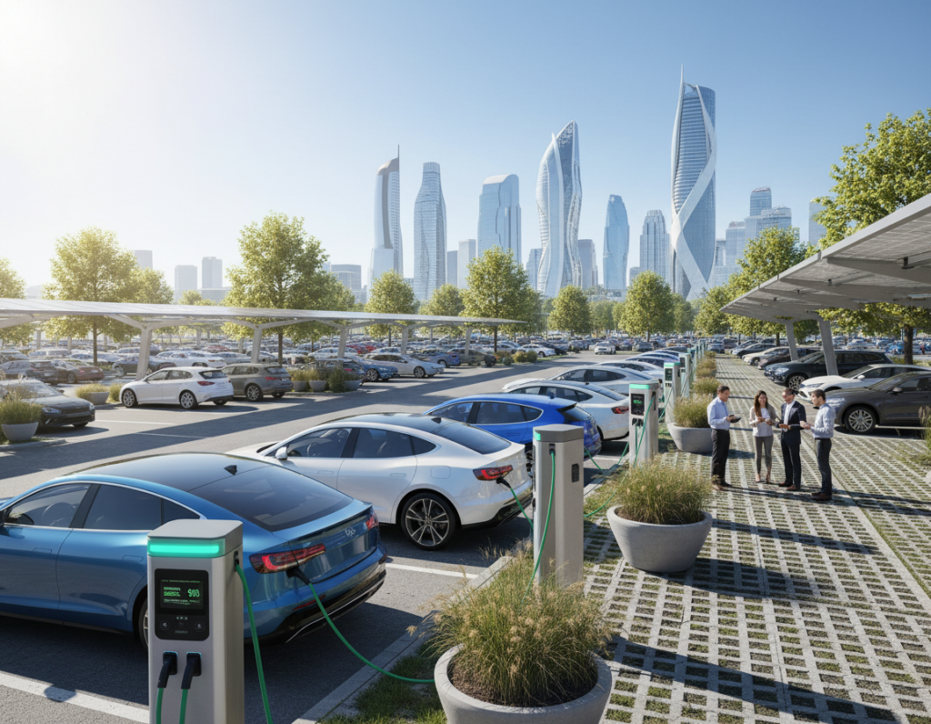
The Impact of Electric Vehicles on City Sustainability
Electrifying urban fleets can cut tailpipe emissions and reshape how a city breathes. Promoting electric vehicles reduces carbon output when the power comes from low-carbon sources. That change improves air quality and public health.
Data intelligence makes adoption practical. Planners use usage and charging patterns to place fast chargers where drivers need them most. That lowers range anxiety and boosts EV adoption.
When integrated with automated vehicles and broader transport systems, battery-powered fleets can optimize energy use and cut congestion. Those combined systems also support safer, quieter roads.
“Charging infrastructure and data-driven planning turn electric adoption into long-term sustainability gains.”
- Benefits: lower emissions and cleaner air.
- Infrastructure: targeted charging networks reduce downtime and improve access.
- Data: real-time insights guide deployments and maximize system efficiency.
Data Privacy and Security Concerns
Protecting personal information is now a central priority for any urban mobility data strategy. As traffic and transportation systems collect more telemetry, planners must guard privacy and system integrity. Clear rules and strong engineering reduce both legal risk and public distrust.
Regulatory Compliance
Global rules like GDPR and CCPA set strict limits on how data is stored and shared. Municipal programs must build compliance into design from day one.
CerebrumX Secure Consent is an example of a white-label platform that records explicit driver consent and helps meet these laws. That tooling speeds audits and simplifies reporting.
Protecting Personal Information
Technical defenses must include encryption, access controls, and regular security testing. Any weakness can become a cyber threat that affects road safety and service availability.
- Prioritize explicit consent and transparent policies for users.
- Design systems to minimize stored personal data when possible.
- Schedule frequent security reviews and incident plans to save time in a breach.
“Time spent ensuring compliance is a necessary investment to protect the integrity of collected data.”
Overcoming Technological Constraints
Limited network bandwidth and high transmission costs have long slowed the rollout of urban mobility systems. Many pilots stalled because they could not stream sensor data fast enough for real-time decision making in traffic management.
The arrival of 5G now offers low latency and high bandwidth that make real-time communication possible. This change helps move large volumes of data between road sensors, infrastructure, and vehicles with minimal delay.
Practical steps include upgrading local network backhaul, reducing cloud transmission costs with edge compute, and testing level-of-service guarantees for critical signals.
“Improving network and edge infrastructure is the clearest way to turn pilots into city-wide, sustainable solutions.”
- Address historical challenges: reduce latency and cut cloud fees.
- Layered design: combine 5G, edge compute, and resilient infrastructure.
- Security and privacy: bake protections into each level of the stack.
Through careful analysis and investment, the transition to 5G can unlock safer roads, better congestion control, and more efficient transportation applications across smart cities.
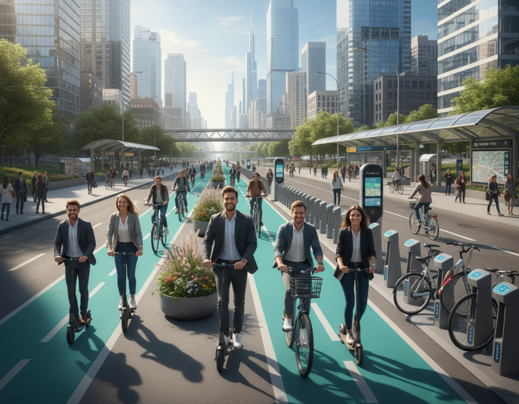
The Future of Public Transportation
Cities will lean on compact autonomous shuttles to solve last-mile trips near high-demand hubs. These shuttles ease congestion and shorten commutes by linking riders to main transit lines.
Affordable, targeted systems placed at transit nodes can reduce the number of private cars on the road. That change improves traffic flow and cuts emissions across busy corridors.
Safety grounds design choices. Vehicles and routing must meet strict standards so passengers feel secure on short feeder runs.
- Autonomous shuttles solve first‑ and last‑mile gaps to boost ridership.
- Planned infrastructure ensures shuttles operate smoothly within existing road networks.
- Collaboration between planners and tech providers helps overcome adoption challenges.
“Integrating short-range shuttles into transit networks is a practical step toward more efficient urban mobility.”
For cities seeking applied solutions and partnerships, learn more about local programs and planning at our approach.
Real-Time Data Intelligence for City Planners
Edge AI brings immediacy to traffic management, turning raw telemetry into rapid operational decisions for planners.
The CEREBRUMX Augmented Deep Learning Platform (ADLP) unlocks insights from millions of connected vehicles and applies machine learning at the edge. This reduces latency and delivers reliable data for road-level analysis.
With accurate, real-time information, planners can manage traffic volume, rethink lane use, and deploy transit services where demand is rising. Privacy is preserved through advanced consent management and regulatory controls.
“Real-time intelligence lets a city act before congestion builds.”
- Optimize traffic flow using live analytics and edge compute.
- Inform planning with clear views of congestion and service needs.
- Protect privacy via consent and secure data handling.
For applied use cases and maintenance planning, see turning road maintenance into smart city. For related in-vehicle data topics, review modern infotainment systems.
Addressing the Challenges of Full Adoption
Widespread adoption of fully automated systems will only succeed when transit networks, power grids, and regulation move in step.
Full adoption is an opportunity for smart cities but can become a threat if planners ignore long-term impacts. Success depends on shared trip models that carry multiple passengers and on electricity sourced from low‑carbon generation.
Safety remains the top metric. Improved road safety is possible, yet it requires a coordinated ecosystem of operators, standards, and monitoring. Without that, gains may be uneven or short lived.
Planners must protect public transportation and integrate new modes so they reduce private car trips. When paired with shared itineraries and fleet scheduling, connected autonomous vehicles and autonomous vehicles can amplify ridership rather than replace it.
- Design shared mobility to favor high occupancy and seamless transfers.
- Commit to electric power and sustainable charging networks.
- Set performance standards, testing, and clear governance across operators.
- Measure long-term benefits and iterate policies based on outcomes.
“By tackling these challenges now, we protect safety, support transit, and unlock real benefits for residents.”
Emerging Technologies in Urban Planning
AI and edge analysis are changing how planners turn data into better streets and transit. Using machine learning on local streams helps teams run fast, meaningful analysis on movement patterns from each connected vehicle.
Edge computing reduces latency and lets planners act in near real time. That local processing lowers network load and makes traffic controls more responsive.
Planned upgrades now target infrastructure that supports on-site compute, robust sensors, and shared models. These tools let a city adapt signals, curb use, and transit routes to reduce delays.
- Use AI to model demand and improve road design.
- Deploy edge nodes to speed decision-making at intersections.
- Prioritize sustainability by lowering idle time and emissions.
“Integrating AI, edge compute, and field data creates a more responsive planning system.”
Outcome: this technology stack helps planners build resilient, efficient systems that grow with demand and support long-term planning goals.
Conclusion
Conclusion
A clear plan that balances technology, equity, and sustainability will shape the future of urban mobility. The integration of connected and autonomous technologies into smart cities offers real gains in safety, air quality, and commute time.
Challenges remain: regulation, infrastructure costs, and privacy must be addressed with data-driven policy and strong engineering. Cities that pair innovation with targeted public investments can manage these risks.
By prioritizing sustainability, security, and equitable access, planners can ensure that autonomous vehicles and related systems serve all residents. The path forward requires collaboration, clear metrics, and steady commitment to long-term outcomes.